
Illinois ZIP Bands by Region
Illinois has hundreds of active postal codes. The Census geography guide lists about 1,384 ZCTAs for 2010, a different measure. USPS assignments change as delivery points are added, retired, split, or reassigned, so a static list cannot replace live verification. No single official scrape lists every current code, post office, and service area. These regional bands provide orientation; use USPS to check the current address or ZIP-to-cities result.
| Regional ZIP band | Coverage examples | Post office or postal note | Search implication |
|---|---|---|---|
| 600xx-604xx | Chicago north and west suburbs, Chicago, south suburbs, Joliet corridor | Postal cities may differ from municipal lines; multiple collar counties. | Verify with USPS, then use the parcel's county assessor. |
| 605xx | Western suburbs, Aurora, Naperville, Joliet, Plainfield, nearby communities | ZIPs can cross municipal and county lines and include unincorporated pockets. | Do not infer the property county from the postal city alone. |
| 606xx | Chicago city delivery areas | Special, unique, or PO-box patterns may occur; ZIP is not a ward. | Portals may take an address or PIN, not a ZIP-wide resident search. |
| 607xx-608xx | Near-west and south Cook County, Chicago-adjacent communities | Postal and municipal boundaries can diverge. | Confirm the municipality separately for permits or city records. |
| 609xx-612xx | Kankakee, Bloomington-Normal, Rock Island and Quad Cities, north-central counties | Delivery routes do not follow county lines. | Use the USPS result to orient, then identify the actual county custodian. |
| 613xx-617xx | LaSalle-Peru, Peoria, central Illinois, Champaign-Urbana, Decatur | Mixed city and rural ZIPs may serve more than one town. | County and township details matter for parcel searches. |
| 618xx-622xx | East-central Illinois, Danville, Mattoon-Charleston, Springfield area, Metro East | City and county mismatches occur near Metro East and rural post offices. | Use USPS for delivery names, GIS for legal boundaries. |
| 623xx-629xx | Western, southern, and southernmost Illinois, including Quincy, Jacksonville, Carbondale, Marion, Belleville, and Cairo area | Rural-route, PO-box-only, unique, and multi-city patterns need address-level checks. | Check the exact ZIP with USPS and use county GIS for the mapped area. |
| PO-box or unique ZIP | State offices, universities, institutions, military and post-office-box delivery | Some are tied to one institution or box delivery; some have no Census ZCTA. | Do not treat the postal code as a residential neighborhood polygon. |
A band is not a complete code or post-office list. A ZIP may have more than one recognized city, so verify each address or ZIP-to-cities result with USPS before choosing an assessor, clerk, or election authority.
Coverage check. Use a regional band to choose the next question, then verify the actual delivery address and postal city before treating a ZIP as a search key.
Illinois USPS ZIP Lookup Modes
USPS offers address, city/state, and ZIP-to-cities searches. Use the mode that fits the record. Address lookup helps when a unit matters or the postal city differs from the legal municipality.
The USPS ZIP Code Lookup lists the required fields for each mode.
| Lookup field | Form type | Required | Options and use |
|---|---|---|---|
| Find by Address: street address | Text | Yes | Add a unit when several delivery points may match. |
| Find by Address: city | Text | Yes with state | Enter the postal city tied to the delivery address. |
| Find by Address: state | Dropdown | Yes | Select Illinois for an in-state address. |
| Find by City and State: city | Text | Yes | Returns the city's ZIP list, not a parcel or resident list. |
| Find by City and State: state | Dropdown | Yes | Choose the state paired with the city name. |
| Cities by ZIP: ZIP Code | Text | Yes | Returns city names USPS recognizes for that ZIP. |
| Find / Edit and search again | Buttons | Action | Review results, change the address, or run another search. |
For a visual reference, the USPS lookup form separates these search modes.
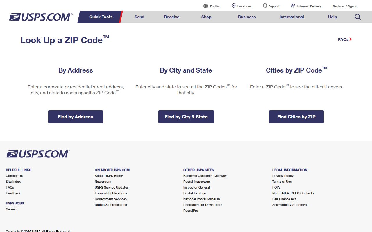
Use the address result to standardize delivery details, then check the county and municipality before opening a local property record.
USPS cautions that a ZIP result does not confirm that a person or company is at an address. When multiple delivery points match, narrow the search with the unit number.
Illinois ZIP Polygons on GIS
Illinois's geospatial service publishes a ZIP polygon with a five-character ZIP field, geometry, object ID, and area or length values. Query tools support filters, distinct values, statistics, pagination, and GeoJSON. Compare the outline with county or municipal lines, but treat it as a spatial reference.
Open the Illinois ZIP polygon service for the live layer and query options.
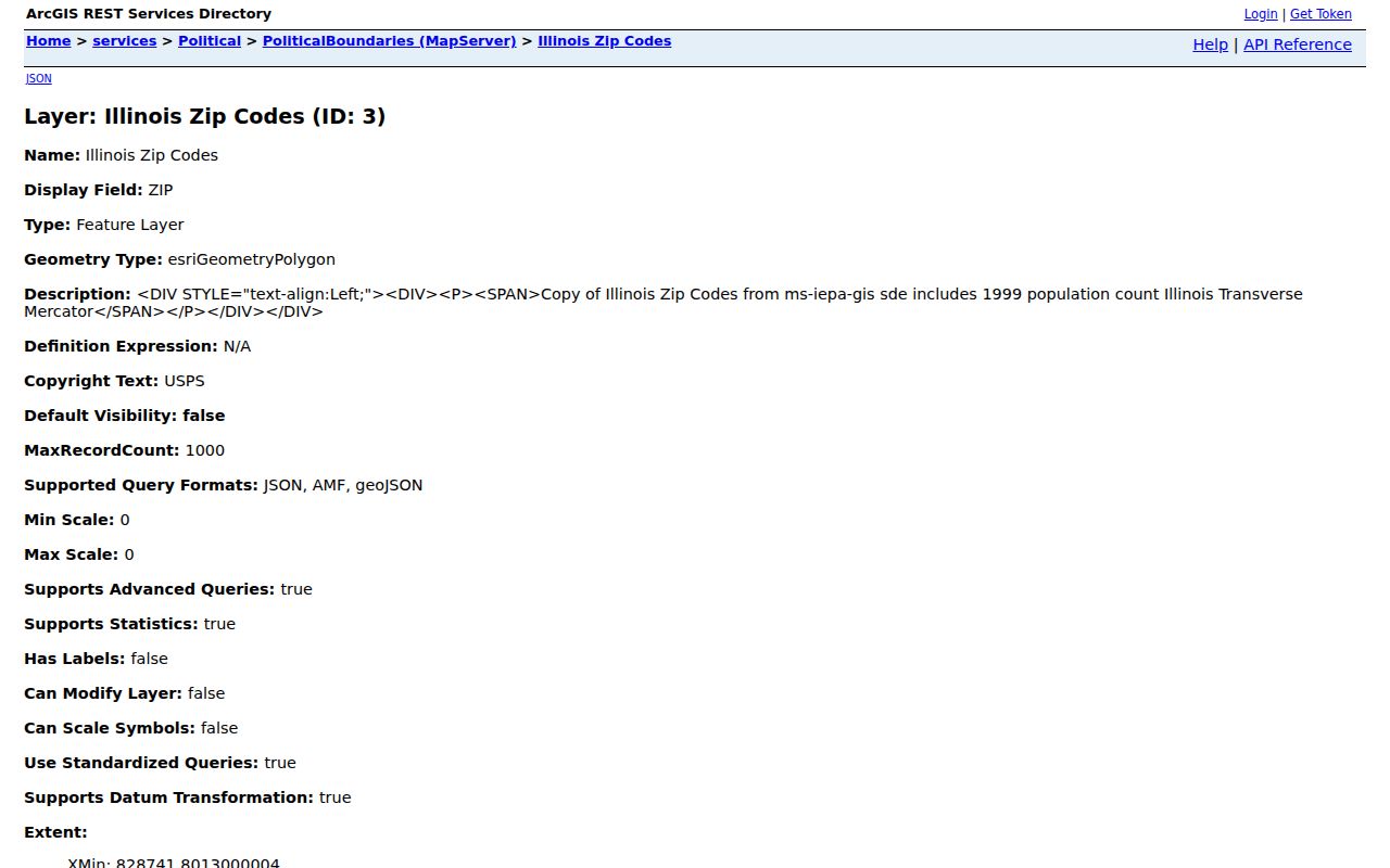
The mapped shape is a planning reference, not a list of delivery points. It cannot tell whether USPS will deliver to a specific unit or whether a person lives inside the outline.
That distinction matters in the Chicago region and in rural parts of the state, where routes and boundaries may be irregular. Check USPS for a specific address and use local GIS for the parcel or municipal line. A map layer can help choose the next office, but it cannot settle a disputed mailing city or legal jurisdiction.
Finding Residents by ZIP Code
No statewide property roll accepts every ZIP as a resident filter. Confirm the delivery details with USPS, then identify the county or municipal custodian. A ZIP narrows geography; it does not prove a household belongs to a city or county.
- Confirm delivery. Enter the full address in the USPS address lookup, including a unit when needed. Save its standardized city, state, and ZIP result.
- Find the jurisdiction. Compare the postal city with the actual county and municipality using local GIS or an official parcel record. Do not select an assessor solely from a ZIP label.
- Open the right roll. Search the county assessor or GIS by street address or PIN. Cook's public assessor supports address, PIN, and neighborhood modes; the inspected form does not provide a ZIP-wide resident search.
- Choose a separate record. Voter, license, and registry systems have their own fields, access limits, and purposes. Check the custodian's rules rather than assuming every search accepts a ZIP.
- Verify the parcel. Match the result to the street, unit, city, county, and PIN before drawing a conclusion about an owner or record subject.
After narrowing the area, use the Illinois street directory walkthrough to trace address, parcel, and deed. Property records show assessed owner and mailing address, not everyone who lives there. Compare two independent records, such as assessor owner and deed legal description, and log the date and source; a matching name alone does not establish identity. USPS standardizes delivery spelling, while the parcel and deed confirm the property link.
Illinois County Portals by ZIP
County filters differ. The Cook County Assessor takes address, PIN, neighborhood, township, or class; the Will County portal takes owner, address, PIN, subdivision, sale date and amount, or class. The inspected Will screen had no ZIP filter. Neither portal is a resident roster.
The IDFPR license lookup may include city, state, and ZIP for a license holder. The Illinois State Police registry accepts ZIP for its specialized records; it is not a general resident directory.
If there is no ZIP mode, verify delivery, identify the jurisdiction, then search by address or PIN. Contact the assessor or GIS office by phone or in person when no online index exists. Note the portal and search date.
Illinois Voter Data Is Restricted
ZIP-based voter information is not a public list of everyone in an area. Illinois allows inspection of registration cards under statutory rules, but the electronic list is not a general download. The SBE data page describes geographic products by registration address or district and their limits.
Cards have special inspection timing around the 27 days before an election. Outside that period, the electronic list may be viewed on screen at SBE's Springfield office, but not copied or transmitted through that route.
Protected Address Confidentiality Program voters must be omitted from public lists. The individual lookup is for a voter checking their own registration. A missing name may reflect list maintenance, a move, protected status, or another jurisdiction; it does not prove a person never lived there.
Ask the election authority about lawful inspection. Do not turn a ZIP into a household list. For land questions, use county assessor or GIS address and PIN searches.
Illinois ZIP Maps Are Not Delivery Lists
A Census ZCTA approximates ZIP geography using census blocks, but is not an exact delivery boundary. Some valid USPS ZIPs have no ZCTA; others are noncontiguous, include enclaves or zero-population blocks, or reflect PO-box, mixed, or single-institution delivery.
A shaded polygon does not confirm mail delivery or name residents. Use the Illinois layer for broad geography, USPS for a delivery address, and county records for property details. These sources answer different questions.
ZIPs Cross Illinois City Lines
Postal cities, Illinois municipal limits, and county lines do not always match. Chicago-area bands span county assumptions; 605xx codes include western suburbs and unincorporated pockets. Metro East also has postal and municipal mismatches. Chicago ZIPs are not ward or neighborhood maps.
Confirm the postal city with USPS, then check the parcel's county and municipality. City permits belong to the city department; parcel tax data belongs to the county assessor or GIS.
This choice matters at each step: a ZIP selects a postal route, not the county clerk, tax district, or city permit jurisdiction.
Map versus delivery. A ZIP polygon shows a statistical or mapped area; USPS verifies a specific standardized delivery address. Neither one alone establishes the legal city, county, parcel owner, or resident.
- Postal ZIP
- A five-digit USPS code used to route mail to a delivery area or special destination.
- ZIP+4
- The five-digit ZIP plus four more digits that narrow delivery to a segment, building, or mail route.
- PO-box ZIP
- A code used for post-office-box delivery; it may not describe a residential area.
- Unique ZIP
- A code assigned to one organization or institution rather than a broad set of street addresses.
- Carrier route
- A USPS delivery route grouping addresses within a postal area; it is not a separate city boundary.
- ZCTA
- A Census statistical polygon that approximates ZIP geography, with gaps and shapes that can differ from postal delivery areas.