
Illinois Neighbors: Public Block Sources
Illinois has no single official parcel map for the whole state. A block search starts with the county or municipal GIS viewer, then checks each selected parcel against its assessor record. A recorder can add the deed parties or plat that explain an ownership link. These records describe land and public contacts, not every person who lives on a block. The table separates the source that draws a boundary from the offices and groups that can confirm a record or public contact.
| Block source | What It Can Show Nearby | How to Reach It |
|---|---|---|
| County GIS map | Parcel lines, PIN, adjacent situs addresses, overlays | Free county viewer; tools vary |
| Assessor record | Recorded owner, value, class, exemption, mailing address | Local assessor search or office |
| Recorder index | Deed parties, transfer, mortgage, lien, or plat | County recorder or clerk-recorder |
| Voter record | Registration-card information under election rules | Election authority inspection; restricted file rules |
| Association contact list | Public group boundary, meeting, or contact | Municipal directory or group page |
| Permit or service record | Work, inspection, complaint, or public service request by address | City or county portal, clerk, or FOIA |
An assessor's owner field is the assessed owner, not a list of occupants. The situs address is the physical parcel; a tax-billing address can be somewhere else. A PIN or legal description helps keep the map, tax card, and deed index aligned. Residents who do not own property, protected voters, household members, and utility customers do not become public just because nearby land records can be searched.
CookViewer Maps Illinois Neighbors
Cook County's GIS viewer is a concrete example of how to inspect the parcels around one Illinois address. Search by address, PIN, or intersection, then zoom until road names and parcel edges are clear. Click the anchor parcel to confirm its PIN and situs address. From there, the adjacent-parcel clicks keep the search close to the chosen block instead of turning it into a directory of a whole street.
The CookViewer Select Tool can draw a rectangle or polygon around several parcels and export the selected results. The viewer also offers a radius comparison capped at one mile. Its May 2026 release notes add export and historical parcel layers, which can help explain a boundary change; the same official page warns that mapping services can be disrupted. Treat the map as a way to select parcels, then confirm each name in the assessor or recorder record.
The CookViewer search and map tools show the rectangle and polygon workflow.
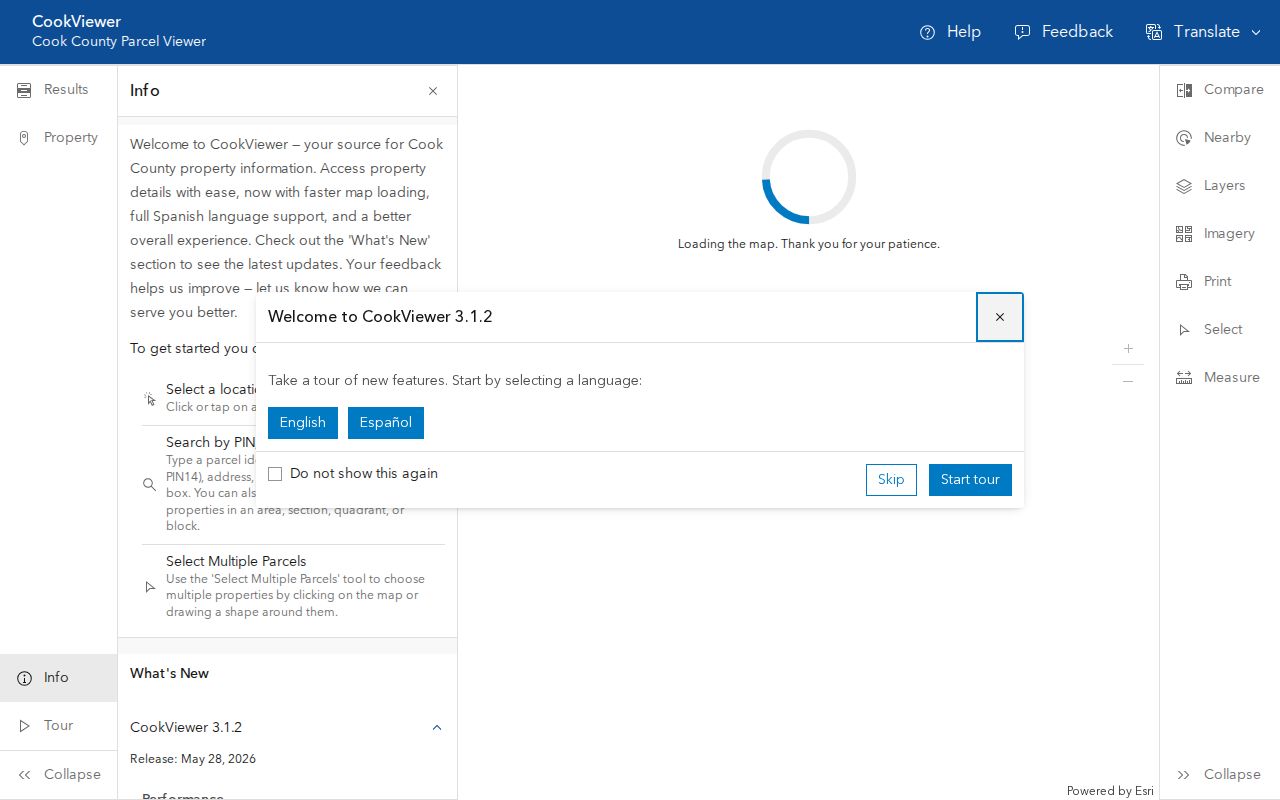
The screenshot shows a Cook County interface; other Illinois counties use their own GIS tools and may not offer the same export controls.
Map Illinois Neighbors Parcel by Parcel
For one Illinois block, use the map to choose the next parcel, then check the official record before treating the name as a match. The public-record chain is short and specific: anchor address, parcel number, assessor card, and deed index. CookViewer supports map selection and export; elsewhere, record the PIN or legal description for each adjacent lot and open its local assessor result.
- Search the anchor address or PIN in the county GIS viewer and zoom until the parcel lines and street names are readable.
- Click neighboring parcels or draw a small rectangle or polygon around the block; note each PIN and situs address.
- Open the assessor record for each selected parcel. Compare the owner, tax mailing address, and parcel facts without assuming the owner lives there.
- If a deed or lot boundary is unclear, use the recorder's index or request help from the county office before adding it to the block record.
Keep the list to the immediate block and the public contact layer. The Illinois street directory follows a full named street and its wider address record chain.
Illinois Voter Rules for Neighbors
Illinois voter registration cards are open to inspection under the Election Code, subject to timing rules around an election. That does not create a downloadable list of everyone on a block. The statewide electronic file is restricted under 10 ILCS 5/4-8; the State Board of Elections permits limited on-screen viewing outside the 27 days before an election, without printing, copying, transmitting, or altering the file. A permitted product has statutory request and use limits.
A card or file entry still does not prove that a named person lives at the same parcel today. A missing name can reflect an inactive or cancelled registration, a different election jurisdiction, an old name, or protected status. Illinois' Address Confidentiality Program records must be omitted from public voter lists. Ask the local election authority about a lawful inspection route, and do not rebuild a block roster from individual results.
The SBE's computerized voter data instructions explain the geographic products and limits.
Springfield and Decatur Association Contacts
Municipal association pages help explain who organizes a block, where a group meets, and how to reach a public contact. They are not household lists. Springfield's Office of Planning and Economic Development publishes neighborhood and subdivision contacts and invites associations to ask to be added. Its list includes named neighborhood groups and watch organizations, plus many homeowner or subdivision associations.
| Illinois area | Public contact layer | What the record can tell you |
|---|---|---|
| Springfield | City OPED association list | Examples include Adloff Estates, Enos Park Neighborhood Improvement, Historic West Side, Harvard Park, Lincoln Park, Old South Town, Vinegar Hill, and Westend Neighborhood Watch; the city provides an add/update route. |
| Decatur | Coalition of Neighborhood Organizations (CONO) | City-recognized umbrella established in 1991 and recognized by the City Council in 1997; check current program status before relying on it. |
| Chicago | Neighborhood councils, special service areas, community advisory boards, and civic directories | Public contacts and group boundaries; not a private membership roster. |
| Other municipalities | Planning or community-development pages, park districts, chambers, and neighborhood-watch lists | Availability differs by city; public meeting or contact records may be requested if no directory is posted. |
See the Springfield OPED association page for the city's list and contact/update route.
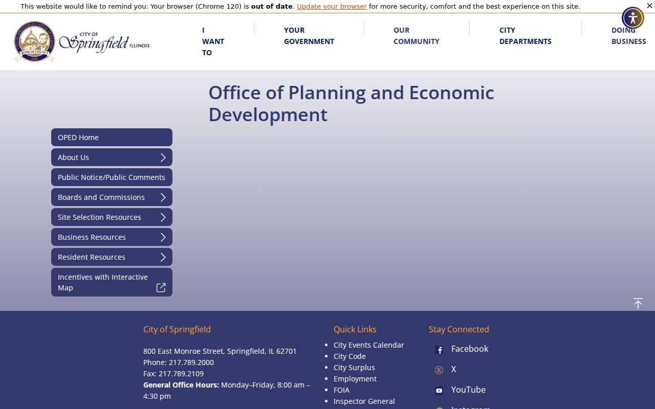
The Springfield page is one municipality's public contact list; it does not reveal the members or occupants of any address.
In Decatur, the research identifies CONO as a city-recognized umbrella, but notes that a former community-services partner dissolved for budget reasons. Verify the current city contact before treating the group as active. If a formal association name is unclear, a recorded subdivision or condominium declaration may identify it; the declaration is not a member roster.
Official Illinois Neighbor Records and Compiled Tools
Official records show what a custodian has recorded for land, a case, a permit, or an election. Commercial neighbor-finding tools compile public, licensed, and web data into a separate report. The two categories can look alike on screen, but they have different sources and limits.
| Source category | Useful for a block | Limits to keep in view |
|---|---|---|
| Official GIS, assessor, recorder, or city record | Parcel boundary, assessed owner, deed party, public permit or contact | County or city scope; records can lag; an owner is not every occupant |
| Commercial compiled neighbor tool | May group public and licensed records in one report | Can be stale, join people with similar names, or repeat an error; payment does not make it an official record |
For a dispute about a name or parcel, go back to the office that created the record. A commercial opt-out may remove a compiled listing but will not delete the underlying county record. In Illinois, property, voter, permit, and association records each have a different custodian and correction path.
Illinois Block Lines Follow Local Maps
A block can sit inside several map systems at once: a city boundary, ward or election district, county parcel layer, ZIP delivery area, and school, park, or service district. Illinois has no statewide parcel-owner map, and ZIP areas are postal rather than legal neighborhood borders. A postal city name may differ from the municipality that handles permits or public meetings. For an address beyond Cook County, identify the county first and open that county's GIS or assessor tool.
The available map layers vary. Will County's GIS Data Viewer advertises more than 70 layers, including land use, hydrology, public safety, and aerial imagery, with spatial-analysis tools. Sangamon County GIS includes property assessment, 911, election districting, zoning, county highways, parcels, and election viewers. Those layers can help locate a public office or understand where services are routed, but they do not expose private household lists.
Illinois recorder offices have a long local history: a 1847 law required grantor and grantee indexes, while later changes shifted duties between recorders and circuit clerks. Today, a smaller county may use its county clerk as ex-officio recorder. Confirm which office holds a deed or plat before searching for a portal. Springfield's municipal record index is another local layer, joining maps, annexations, street changes, permits, cemetery deeds, and tax-index owner files.
Privacy Limits for Illinois Neighbors
Illinois FOIA does not open every address detail. Sections 2 and 7 protect or require redaction of private information and clearly unwarranted invasions of personal privacy. The state FOIA overview explains the request route and exemptions. The Address Confidentiality Program gives eligible survivors a substitute address for new public records, but the Attorney General cautions that it cannot ensure secrecy for property records or erase older filings. The voter record also has special safeguards, and DMV data is restricted by federal law.
Household members, non-owner occupants, utility customers, delivery data, protected voters, and private association or congregation rosters are not a public block list. If a municipality has a public association directory, use it for the group's contact or meeting details. If a record seems wrong, ask the assessor, recorder, election authority, or city clerk that holds it to explain its correction process.
A narrow FOIA request may seek an existing public meeting or association-contact record, but it cannot compel an agency to create a household list or release data barred by another law. The Illinois AG's Address Confidentiality Program guidance describes the substitute-address rules and their limits.
Lawful personal use. Use parcel and civic records to understand a block, check an official notice, or find a public association contact. Do not use a record to monitor, threaten, harass, or contact someone against their wishes; Illinois stalking law addresses a course of conduct that causes fear or distress.